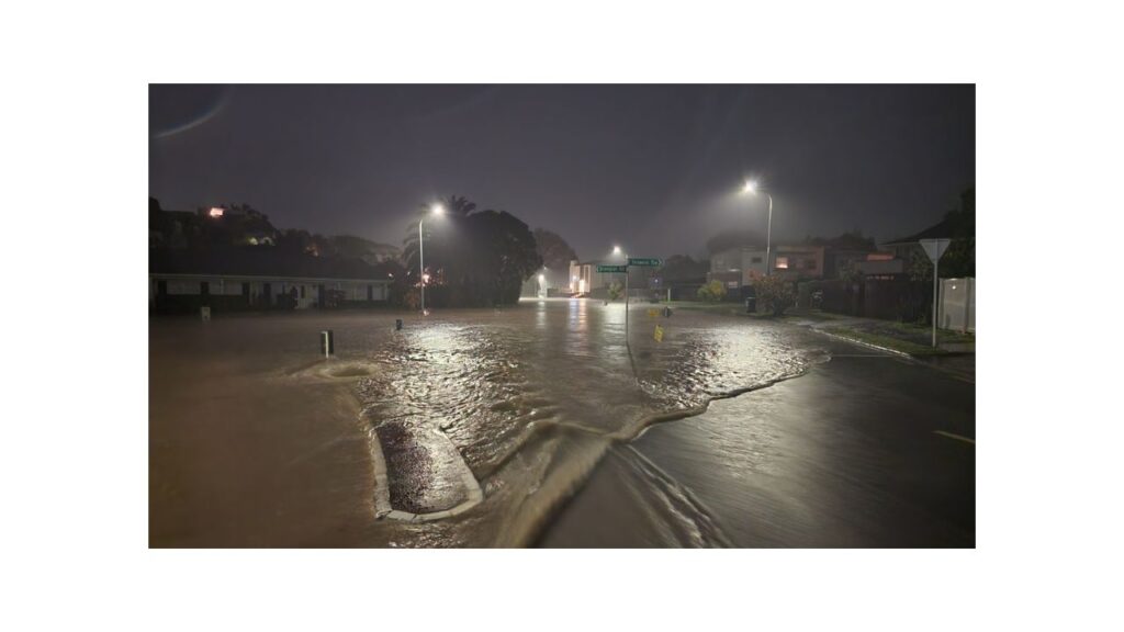
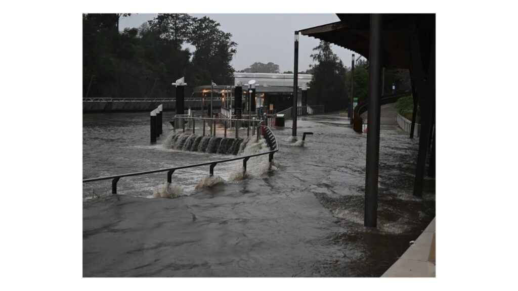
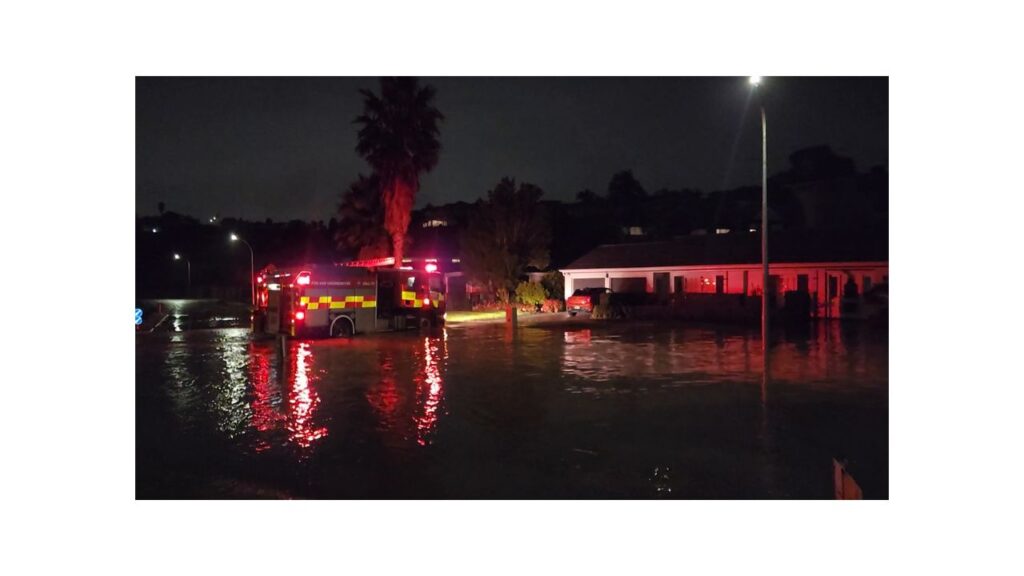
After last night’s downpours caused portions of Auckland to flood, heavy rain was expected to continue its path down the North Island today.
Many severe weather watches came to an end overnight, but not before their consequences were apparent.
“Torrential rain has been recorded within the Severe Thunderstorm Watch area: 80.6mm was recorded at the @AklCouncil station in Leigh (north of Warkworth) between 9 and 10pm, and last hour 63.0mm was recorded in Whangaparaoa,” the MetService reported on X.
According to Fire and Emergency NZ, there were 67 weather-related incidents between 2 a.m. to 11 p.m. In addition, between 6 p.m. on Monday and 6 a.m. on Tuesday, police in Auckland received calls for 36 weather-related incidents.
Images taken during the night showed some significant flooding in St Heliers, Auckland.
As seen According to Matthew Davison of 1News, the area near Allum St. and Tarawera Terrace was completely submerged by water.

The flooding, in his words, was “pretty bad”. At least one residence received a call from Fire and Emergency NZ.
Dom Barry, a meteorologist with MetService, referred to the front as a “Tasman Sea Special” yesterday. He said it whipped up to the west of New Zealand and was advancing into the upper North Island.
The east coast of the North Island would be next on the firing line today.
The North Island’s eastern and northern regions are expected to have a spell of rain due to a subtropical low and accompanying front.
“Thunderstorms continue to move into the Bay of Plenty this morning and heavy rain is set to wrap onto the east coast of the North Island,” the MetService said.
“Milford Sound and Hokitika look to be the places to be if you are looking for some sunnier skies.”
From 2am until 10am today, there was a severe thunderstorm watch covering the Bay of Plenty, including Rotorua.

“An active front is expected to move eastwards across Bay of Plenty/Rotorua this morning bringing heavy rain,” the MetService warned.
“There is a moderate risk of SEVERE THUNDERSTORMS with localised torrential downpours in excess of 40 mm/h possible, especially about coastal areas, along with a chance of a small coastal tornado.”
With 150 to 200 mm of rain predicted between 6 a.m. today and 6 p.m. tomorrow, Hawke’s Bay was issued an orange heavy rain warning. The warning stated that “heavy rain may cause streams and rivers to rise rapidly.”
“Surface flooding and slips are also possible and driving conditions may be hazardous.”
There were heavy rain watches for the Tararua District and Wairarapa from 9am tomorrow to 9am today, for Tairāwhiti from 3am to 3pm today, and for the Bay of Plenty west of Kawerau from 11pm last night to 11am today.
Last night was supposed to be the last one for the Coromandel Peninsula, Great Barrier Island, Auckland, and Northland to be under a heavy rain watch.
